Precision agriculture; soil fertility; applied geostatistics; genesis, morphology and classification of soils; pedometry and digital mapping and soils; physical soil quality; remote sensing and geoprocessing; spatial and temporal variability of soil attributes.
The GEOP Group studies the relations of the attributes indicating physical quality influenced by the use and management of the soil, with the objective of evaluating the productive potential of the soil as a means of providing adequate conditions to produce food, fibers and other products for energy production, as well as , perform its function of environmental character.
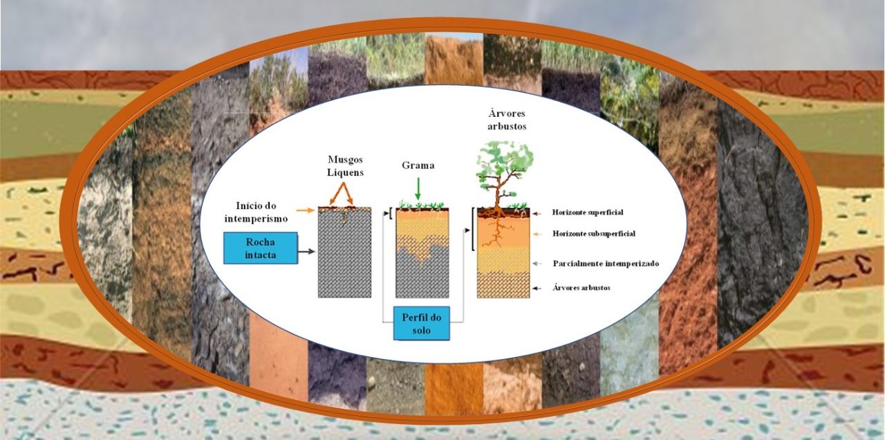
The GEOP Group studies the formation of the soil through the interaction of the formation factors, evaluating the influence of the factors on the morphological, physical and chemical characteristics of the soil.

The GEOP Group studies the capacity of the soil to supply nutrients to the plants and to test different sources of fertilizers and doses with the intention of meeting the need for technical bulletins that will assist in the proper management of the soil.
The GEOP Group studies and develops new applications of geostatistical methods combined with multivariate statistics for the development of sustainable and productive agriculture.
The GEOP Group acts at the interface between the Precision Agriculture area, especially with the management of the spatial variability of soil attributes and the productivity of agricultural crops, the definition of specific management zones and the development of spatial sampling methodologies.
The GEOP Group aims to generate knowledge and methodologies through Geoprocessing and Remote Sensing applied to land use planning, in the study of the environment.
The GEOP Group has a strong role in the application of statistical and mathematical methods for the study of soil distribution and genesis, Quantitative Modeling of the Soil-Landscape relationship, creation and population of spatial soil information systems, through the use of numerical models for the inference of spatial and temporal variations of soil types and their properties, based on observations and knowledge of soils and correlated environmental variables.
The GEOP Group conducts research on the causes of spatial variability of soil attributes through factors and soil formation processes, combined with management practices, are responsible for the spatial variability of soil attributes, providing pedologically equal areas with different trends of spatial / temporal variability when subjected to different management practices, likewise, different pedologically different areas, may present similar models of variability when subjected to the same soil management system. The line of research aims to evaluate patterns of spatial and temporal variability of physical, chemical and biological attributes in different land use and management systems.
O Grupo GEOP realiza pesquisas sobre Agricultura Digital, ou simplesmente Agricultura 4.0. Aliada ao uso intensivo de diversas técnicas ligadas à informática aplicadas na gestão completa de propriedadesagrícolas: insumos, monitoramento de pragas e outras informações que influenciem na produção agrícola. A plicação da inteligência artificial, como algoritmos de Machine learning e Deep learning usando dados de VANTS/Drones “RPAS”, imagens de Satélites, Sensores próximos, Sensores geofísicos geram grandes conjuntos de dados que para manuseados na era do BIGDATA foi necessário ocorrer uma “Revolução digital” também na forma de gestão das informações.
© 2024 | Geotecnologias e Pedometria (GEOP)